 Shiva-lingam Sanctuary at the upper slope of the temple complex.
It was time. The raison d’etre for my South Laos journey should culminate with a main event. It wasn’t Don Det for me. In fact, the rustic party scene on a serene riverine island didn’t interest me at all. I had set my sights on Wat Phu Champasak, an ancient Khmer religious complex located west of the Mekong on a sun kissed region of what others call the “Ancient City” in Champasak.
The temple rests on the lower slope of Phu Pasak mountain range. Some literature call it Phu Khuai – or Mount Penis – because at the peak of the mountain is a “natural linga” that stands like a phallic symbol.
After a disappointing visit to the hopelessly rundown Tomo Temple east of the Mekong, it was time to head south, 10 kilometers from Ban Wat Thong. Somphone, my motorcycle driver, told me to holler if I wanted to stop anywhere I found interesting. I nodded, grateful for the offer. As we headed south, the view of the sprawling mountain greeted me. There indeed was a protruding linga at the top of one of the peaks. “There’s the penis,” I laughed and pointed it to Somphone. He smiled tentatively. He probably didn’t understand. After all, he spoke better French than English.
He took me to the ticket building where I paid 30,000 kip ($3.76). Just across the building was a museum – which they’d rather call Exhibition Hall. It houses artifacts, lingam (a marker that represents the Hindu deity Shiva), lintels (load-bearing ornamental building components usually found in doors, portals and windows), and statues from the temple. I considered if I should head to the temples first, then museum later. But I thought, it was better to find the time now – get it over and done with – then take my time at the temple complex. For 10 to 15 minutes, I just walked around an air conditioned hallway where photography was prohibited. To be honest, I was getting impatient to see the temples.
 The protruding part of the mountain (second peak above) is a natural lingam to the faithful. It has made some people refer to it as Mount Penis.

 Ticket Building. At the opposite side is the Exhibition Hall. Wat Phu is open daily from 8 AM to 4:30 PM.
 Some of the displays at the museum.

I rushed back to Somphone and jumped behind him so we could head west for the temples. The complex spans 84 hectares. Getting this ride to where I could start my walk up the foot of the hill helped. The 3 minute ride was pleasant as we passed by a moat – a lake, then the bike parked where it wasn’t allowed to go further. It was going to be a pleasant ascent; uneven yet pleasant nonetheless. The way to the Sanctuary up the slope of the mountain went through a runway of sorts, symmetrically placed like a church aisle as it heads up the main temple. I passed by dilapidated buildings (North and South Palace, also called Quadrangular Pavilions) on either side of the runway. There’s a Nandin Temple undergoing renovation effort by Italian and Japanese groups.
THREE LEVELS
Essentially, the complex, founded in mid-5th century, was conceived as a “worldly imitation of heaven”, and thus was designed with 3 levels. The lower level had the modern sala and the great baray (pond). The middle level contains the Quadrangular Pavilion, the Nandi Hall, Dvarapala (door guardian, an architectural element in Hindu and Buddhist cultures) and Yoni Pedestal. The upper level contains the Trimurti, the crocodile and elephant stones and the meditation cell. These three terraces had halls.
The climb is a gradual process, thus easily navigable, but there are several stairs made of ragged stones, beautifully cobbled but otherwise uncomfortable on the feet. It would be a problem for old folks and the unfit, but if you’re moderately able, it isn’t really a hard climb. The way to the main temple is the steepest, but you could stop every so often, turn around and see the breath taking sprawl of what was once a royal land. These days, they are covered by vegetation, looking lush and alive.
 Baray (moat) - ceremonial pond
 A walk towards the ornamental archway (gopura)
 The promenade (walkway) - a sala is built at each side by Chao Boun Oum. Stone markers have been erected.
 Quadrangular Pavilions at either side of the promenade
 Lintels


 Nandi Hall
 Slabs of stones make the stairs to ascend to the middle level
 Dvarapala stands before another climb. It has been worshipped as King Kammatha, the mythical builder of the temple.
 More slabs constitute the stairs to the next terrace.
The main temple – a Shiva-lingam Sanctuary has a relatively contemporary Buddha inside. Smaller Buddhas scatter under it. Meanwhile, at the back of the main temple, you could walk further until you reach the foot of the cliff. There is a non-descript “altar” in a cave-like space at the foot of the hill where “holy water” drips on a square-shaped well. It’s easy to think that this sacred spring may eventually cease to exist in the coming years; what with its miniscule volume dwindling fast.
There are gigantic boulders further up the slope. Some have been carved into an elephant. The crocodile was mentioned – a sign that humans have probably been sacrificed there. Unfortunately, I didn’t find the “crocodile”. It has to be noted that these structures require imagination since many of them have been destroyed or have degenerated. Moreover, weeds have grown and I was getting concerned with snakes and other elements. I was navigating the upper levels alone and it was starting to get eerie.
The walk down the slope was expectedly easier and relaxing. The warmth of the sun had dissipated into comfortable afternoon wonder, like a cloak of gentle breeze. I found Somphone waving with a smile. I hopped back behind him and asked for a minute beside the pond – the moat - which looked beautiful and placid! This was such a gorgeous part of the temple complex; The water looked serene. I was told it grew fish. But fishing was understandably prohibited.
Wat Phu was declared a UNESCO World Heritage Site in 2001.
 The Shiva-lingam Sanctuary (the main temple)
 A colorful Buddha - another Dvarapala, perhaps - stands beside the Sanctuary
 Lintel
 Cliff where sacred waters flow (above and below)
 Cave under the cliff with an altar and a sacred spring (below) from the waters of Phu Pasak
 Miniscule volume of flow from the sacred spring.
 Gigantic boulders characterize the slope. Friendly children (below) pose for posterity. I was asking them to smile and rabidly they followed instructions. :)
On the way back, we passed by sleepy bans (villages) that usually perk up during Wat Phu Festival. I asked Somphone to stop at a temple – called Wat Phonsaoe (fon-sa-we) - by the roadside where I saw monks digging away. I stepped down and went up the temple. The monks were oblivious to my presence, but I just wanted to see the main prayer hall. Though lavishly adorned with offerings inside, the hallway needed tidying up. Most tourists choose to ignore this temple midway between Wat Phu (also Wat Phou) and Ban Wat Thong. I, on the other hand, felt elated for the privilege.
Wat Phu Champasak was worth all the planning. Having seen it, I was now looking forward to discovering the environs of Ban Wat Thong, with its infectious somnolence that I find endearingly surreal. As the sun gradually dipped down the horizon, I was back in front of Champasak Guest House. What do I do as night time beckons in a town that mostly sleeps during the day? It would be interesting. Or I could translate inactivity as languorous splendor.
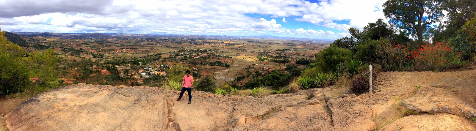
This is the Eye in the Sky!
 Monks at work
 Wat Phonsaoe
P.S.
The Wat Phu road that heads south eventually extends towards Cambodia's Angkor Temples. We shall post more photos of Wat Phu soon.


